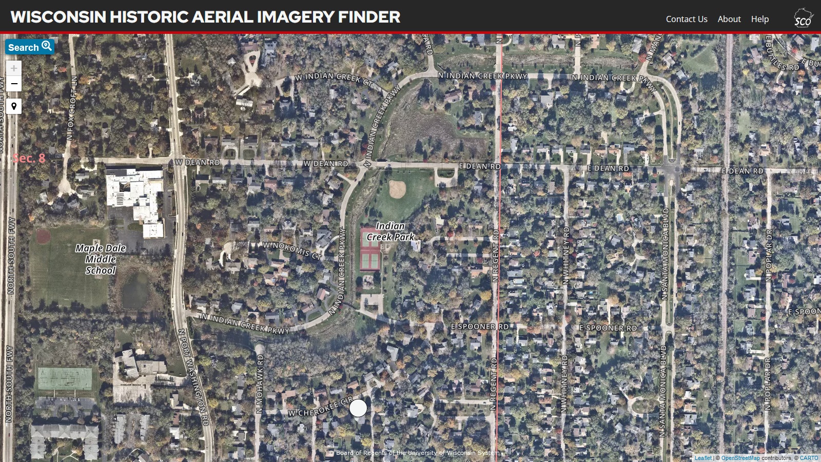
The aerial view
I was searching for pictures from my grade school in the 1960s, about the only ones I found were the ones I put into a scrapbook on archive.org:
https://archive.org/details/maple-dale-6
But I did notice this linked page:
https://maps.sco.wisc.edu/WHAIFinder
and zoomed in to find the old neighborhood:
 |
| My house was across the street from the white dot (survey marker) |
https://maps.sco.wisc.edu/WHAIFinder/#17/43.16635/-87.90783
From there I was able to download this photo from 1937:
There were just farm fields where my house in the 1960s would be. I did see my grade school and Doctor's Park on the lakefront but it was hard to recognize anything else familiar.
I also zoomed back out and then took a look at the island, specifically W9EVT's QTH on the lake, Greengate Farm:
Then:
Now:
Not quite as much change on the island.
Best Regards,
Chuck, WB9KZY
http://wb9kzy.com/ham.htm


